Geography
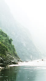
It has a great variety of climates and terrains. The south is wet and tropical, with some rainforest coverage. North-west China is covered in desert. In the very far north-east, close to Russia, the temperature can drop to -50ºC in the winter. In the west of China there are the Himalayas, with some of the highest mountains in the world. China's lowest point is in the Turfan Depression, at -154 metres below sea level. The Turfan Depression is also known as one of the 'furnaces' of China because of its incredible heat. 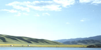 Qinghai Province - north-west China The melting snows from the mountains in the west create the headwaters for two of China's most important rivers, the Yellow River and the Yangzi River.
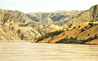
The Yellow River gets its name because of the yellow windborne clay dust called loess that is blown across the north of China from the steppes of Central Asia. The loess is blown into the river and gives it a yellow appearance. The Yangzi River is the longest in China and third longest in the world. The Yangzi River irrigates the rice growing regions in the south of China. | ||||||
|
||||||